All entries tagged with “fishing”
Posted by on Sunday Aug 26, 2018 11:56 am
Red Tide Status Update for August 24, 2018

Current Conditions
A bloom of the Florida red tide organism, Karenia brevis, persists in Southwest Florida and currently extends from Pinellas to Collier counties along ~145 miles of coastline. Observations of >1,000,000 K. brevis cells per liter (“high” concentrations) continue to occur at coastal and inshore sites from Manatee to northern Collier counties, and minimal change in cell concentrations was observed for most areas relative to last week. Coastal currents important for transporting cells of K. brevis continue to alternate between predominantly northern or southern flow. Aerial surveys from Pinellas to northern Charlotte counties indicated the presence of offshore blooms of the marine cyanobacterium, Trichodesmium. More specific details are provided below.
- In Southwest Florida over the past week, K. brevis was observed at background to medium concentrations in Pinellas County, very low to high concentrations in Manatee County, background to high concentrations in Sarasota County, low to high concentrations in or offshore of Charlotte County, very low to high concentrations in or offshore of Lee County, and background to high concentrations in Collier County. For additional information, view the Southwest Coast report
 and map and map  . .
- In Northwest Florida over the past week, K. brevis was observed at background concentrations in one sample collected from Escambia County. For additional information, view the Northwest Coast report
 and map and map  . .
- Additional samples collected along the east coast of Florida over the past week did not contain K. brevis. For additional information, view the East Coast report
 and map and map  . .
Fish Kills
Over the past week, reports were received for multiple locations in Pinellas, Manatee, Sarasota, Charlotte, Lee, and Collier counties. More detailed information is available at http://myfwc.com/fishkill.
Respiratory Irritation
Respiratory irritation was reported over the past week in Pinellas, Manatee, Sarasota, Lee, and Collier counties. For additional information, view the Southwest Coast report  . .
Forecast
Forecasts by the USF-FWC Collaboration for Prediction of Red Tides for Pinellas to northern Monroe counties predict variable movement of surface waters, with net southern transport in most offshore areas and net northern transport close to shore, and net southeastern transport of subsurface waters over the next three days. for Pinellas to northern Monroe counties predict variable movement of surface waters, with net southern transport in most offshore areas and net northern transport close to shore, and net southeastern transport of subsurface waters over the next three days.
Red Tide Status Map (August 24, 2018)

View a larger map  (August 24, 2018) (August 24, 2018)
To see detailed information on this week's samples, view the current Statewide Google Earth map for August 24, 2018 . .
By using Google Earth, you can zoom in to specific locations and click on stations to see detailed information, including sample date and cell concentration. You must have Google Earth installed on your computer to view this map; the software can be downloaded from the Google Earth website . .
Latest Red Tide Status Report Available by Phone
Call 866-300-9399 at any time from anywhere in Florida to hear a recording about red tide conditions throughout the state. Callers outside of Florida can dial 727-552-2448. Standard calling charges apply.
Reports are updated on Friday afternoon except during holidays, in which case the report will be released on the closest day. Additional information, if available, is provided on Wednesday afternoon. To receive an e-mail when the current status has been updated, visit our subscription area.
Additional Information
For additional information about red tide and the current red tide bloom, including information on how to report a fish kill or other wildlife effects, consult health authorities about human exposure, or locate other resources, visit our Red Tide-Related Hotlines and Information Sources article.
Blue-Green Algae Bloom Information
Additional information regarding the current status of algal blooms in South Florida is being consolidated and posted on the Florida Department of Environmental Protection’s website: https://floridadep.gov/dear/algal-bloom.
| Description | Karenia breviscells/liter | Possible Effects (K. brevis only) |
|---|
| NOT PRESENT - BACKGROUND |
background levels of 1,000 cells or less |
None anticipated |
| VERY LOW |
>1,000 to 10,000 |
Possible respiratory irritation; shellfish harvesting closures > 5,000 cells/L |
| LOW |
>10,000 to 100,000 |
Respiratory irritation, possible fish kills and bloom chlorophyll probably detected by satellites at upper limits |
| MEDIUM |
>100,000 to 1,000,000 |
Respiratory irritation and probable fish kills |
| HIGH |
>1,000,000 |
As above plus discoloration
|
Posted by on Monday Aug 6, 2018 11:33 am
Red Tide Status Report (August 3, 2018)
A bloom of the Florida red tide organism, Karenia brevis, persists in Southwest Florida.
In Southwest Florida over the past week, K. brevis was observed at background concentrations in two samples collected from Pinellas County, background concentrations in two samples collected from Manatee County, background to high concentrations in 24 samples collected from or offshore of Sarasota County, low to high concentrations in 10 samples collected from Charlotte County, background to high concentrations in 27 samples collected from or offshore of Lee County, and very low to high concentrations in nine samples collected from Collier County.
Additional samples collected throughout Florida over the past week did not contain K. brevis.
We continue to receive reports of fish kills in Southwest Florida. Over the past week, reports were received for two locations in Manatee County, and multiple locations in Sarasota County, in Charlotte County, in and offshore of Lee County, and in and offshore of Collier County. More detailed information is available at http://myfwc.com/fishkill.
Respiratory irritation was reported over the past week in Manatee County (8/3 at Coquina Beach), Sarasota County (7/28 and 8/1-8/2 at Lido Key; 7/26-7/28, and 7/31-8/3 at Manasota Beach; 7/26-8/3 at Nokomis; 7/26 and 7/30-8/2 at Siesta Key; 7/26-7/29 and 7/31-8/3 at Venice Beach; 7/26-8/3 at Venice North Jetty), Lee County (7/26-8/3 at Bonita Beach; 7/31-8/3 at Bowman’s Beach; 7/26-7/27, 7/30 and 8/1 at Captiva; 7/27-7/29, 8/1 and 8/3 at Causeway Islands; 7/26-8/3 at Gasparilla Island; 7/31 and 8/2 at Light House Beach; 7/26-7/27, 7/30-8/1 and 8/3 at Lovers Key State Park; 7/26-7/28, 7/30-7/31 and 8/2 at Lynn Hall Beach Park; 7/27 and 7/29-8/2 at Newton Park), and Collier County (7/26-8/2 at Barefoot Beach; 7/29-8/2 at Seagate Beach; 7/26, 7/28, and 8/2 at South Marco Beach; 8/2 at Vanderbilt Beach).
Forecasts by the USF-FWC Collaboration for Prediction of Red Tides for Pinellas to northern Monroe counties predict net northwestern transport of surface waters and southeastern movement of subsurface waters for most areas over the next three days. for Pinellas to northern Monroe counties predict net northwestern transport of surface waters and southeastern movement of subsurface waters for most areas over the next three days.
Additional information regarding the current status of algal blooms in South Florida is being consolidated and posted on the Florida Department of Environmental Protection’s website: https://floridadep.gov/dear/algal-bloom.
Red Tide Status Map (August 3, 2018)

View a larger map  (PDF 276KB) (August 3, 2018) (PDF 276KB) (August 3, 2018)
Regional Status Reports and Maps (August 3, 2018)
Southwest coast report  (PDF 237KB) and map (PDF 237KB) and map  (PDF 383KB) (PDF 383KB)
East coast report  (PDF 55KB) and map (PDF 55KB) and map  (PDF 401KB) (PDF 401KB)
Northwest coast report  (PDF 48KB) and map (PDF 48KB) and map  (PDF 464KB) (PDF 464KB)
To see detailed information on this week's samples, view the current Statewide Google Earth map for August 3, 2018 . .
By using Google Earth, you can zoom in to specific locations and click on stations to see detailed information, including sample date and cell concentration. You must have Google Earth installed on your computer to view this map; the software can be downloaded from the Google Earth website . .
The FWRI Red Tide Status Line is now available to callers throughout the state. FWRI updates the recording each Friday by 5 p.m. Red Tide Status Line: 866-300-9399 (toll-free inside Florida only); 727-552-2448 (outside Florida).
Reports are updated on Friday afternoon except during holidays, in which case the report will be released on the closest day. Additional information, if available, is provided on Wednesday afternoon. To receive an e-mail when the current status has been updated, visit our subscription area.
FWC's Red Tide Action Report
Red tide is a naturally-occurring microscopic alga that has been documented along Florida’s Gulf Coast since the 1840’s and occurs nearly every year. Blooms, or higher-than-normal concentrations, of the Florida red tide alga, Karenia brevis, frequently occur in the Gulf of Mexico. Red tide begins in the Gulf of Mexico 10 to 40 miles offshore and can be transported inshore by winds and currents.
FWC Actions and Partnerships:
- FWC operates the toll-free fish kill hotline. To report fish kills, contact the FWC Fish Kill Hotline at 800-636-0511 or submit a report online. Reports from this hotline help FWC researchers track and better understand the impact of red tide in Florida.
- FWC remains available to local agencies and partners in affected areas, including area business and tourism groups in southwest Florida. Any local agency or group that has any questions or concerns can contact Kelly Richmond from the FWC at 727-502-4784.
- FWC continues to partner with the Florida Department of Health to advise residents and visitors of any potential health impacts. Residents and visitors can contact the DOH’s aquatic toxin experts at 850-245-4250 or contact their local health department for any concern about health safety.
- FWC’s Fish and Wildlife Research Institute and Mote Marine Laboratory work together to monitor Karenia brevis. This cooperative effort is designed to help mitigate the adverse impacts of red tide. This joint research program that includes red tide monitoring, research and public outreach and education has resulted in better tools and ongoing monitoring for red tides along the Gulf Coast.
- In partnership with the FWC, the Collaboration for Prediction of Red Tides (CPR) at the University of South Florida offer a new Harmful Algal Bloom (HAB) tracking tool that generates a 3.5-day forecast of the bloom trajectories.
- To protect public health, FWC’s Fish and Wildlife Research Institute’s Harmful Algal Bloom (HAB) group closely monitors the status of K. brevis on Florida’s coasts, providing technical support to the Florida Department of Agriculture and Consumer Services (FDACS
 ), the agency that regulates approved shellfish harvesting areas. ), the agency that regulates approved shellfish harvesting areas.
- Since 2000, FWC’s Fish and Wildlife Research Institute established a Red Tide Offshore Monitoring Program, which is a volunteer program for citizens to help collect water samples from routine collection points and sites reported for suspected harmful algal blooms (HABs).The timely sampling by volunteers allows researchers to provide an early warning of offshore algal blooms and investigate reported events as they occur. The Program needs volunteers to collect samples from all coastal Florida counties. To view more information visit, Red Tide Offshore Monitoring Program or use the Volunteer SignUp Form.
Red Tide Resources
Previous Regional Status Reports and Maps
July 27, 2018
Southwest coast report  (PDF 225KB) and map (PDF 225KB) and map  (PDF 382KB) (PDF 382KB)
East coast report  (PDF 45KB) and map (PDF 45KB) and map  (PDF 271KB) (PDF 271KB)
Northwest coast report  (PDF 55KB) and map (PDF 55KB) and map  (PDF 463KB) (PDF 463KB)
Google Earth map
July 20, 2018
Southwest coast report  (PDF 233KB) and map (PDF 233KB) and map  (PDF 385KB) (PDF 385KB)
East coast report  (PDF 54KB) and map (PDF 54KB) and map  (PDF 400KB) (PDF 400KB)
Northwest coast report  (PDF 38KB) and map (PDF 38KB) and map  (PDF 464KB) (PDF 464KB)
Google Earth map
July 13, 2018
Southwest coast report  (PDF 123KB) and map (PDF 123KB) and map  (PDF 292KB) (PDF 292KB)
East coast report  (PDF 64KB) and map (PDF 64KB) and map  (PDF 401KB) (PDF 401KB)
Northwest coast report  (PDF 45KB) and map (PDF 45KB) and map  (PDF 347KB) (PDF 347KB)
Google Earth map
July 6, 2018
Southwest coast report  (PDF 141KB) and map (PDF 141KB) and map  (PDF 403KB) (PDF 403KB)
East coast report  (PDF 45KB) and map (PDF 45KB) and map  (PDF 290KB) (PDF 290KB)
Northwest coast report  (PDF 42KB) and map (PDF 42KB) and map  (PDF 479KB) (PDF 479KB)
Google Earth map
Additional archived status maps can be found on Flickr
Key for Results
| Description | Karenia breviscells/liter | Possible Effects (K. brevis only) |
|---|
| NOT PRESENT - BACKGROUND |
background levels of 1,000 cells or less |
None anticipated |
| VERY LOW |
>1,000 to 10,000 |
Possible respiratory irritation; shellfish harvesting closures > 5,000 cells/L |
| LOW |
>10,000 to 100,000 |
Respiratory irritation, possible fish kills and bloom chlorophyll probably detected by satellites at upper limits |
| MEDIUM |
>100,000 to 1,000,000 |
Respiratory irritation and probable fish kills |
| HIGH |
>1,000,000 |
As above plus discoloration
|
Hotlines and Information Sources

Posted by Carissa Dressel on Friday Jun 14, 2013 1:48 pm

Sarasota Boat Rentals Make Summer Vacation Memorable
Renting a boat for your summer vacation can add a large amount of fun for the entire family. Getting out on the water and enjoying the sun becomes much easier with a great boat to get you where you want to go. Not only are boats a faster mode of transportation, they add a variety of activities that you can take part in.
Boat Rentals
Renting a boat can be easier than you may think, and the process may even be completed online. A reservation will save you time during the actual vacation, and you will have the comfort of knowing it is already ready for you once you arrive. There are plenty of options in Sarasota to get a boat that fits whatever needs you may have. You could even rent boats at a good price that would be very expensive to buy. There are boat clubs that you could join that will offer you many boat choices, first-class service and special events.
Things to Do
The activities that you can do when you rent a boat are plentiful. If you want a fast boat that you can zoom around in and enjoy the speed, there are boats that can achieve that. You could use your boat for water sports like tubing, wakeboarding and waterskiing. Fishing is among the popular activities that you can do from a boat, and boats are available to take to whatever location you think you can catch fish. Of course, you can just choose to relax on the boat and enjoy the sun.
Sarasota
The city of Sarasota, Florida is a beautiful area with plenty of things to do. Sarasota is a very popular summer vacation spot because of the warm temperatures, activities and sport fishing. The large amount of water around the city makes it perfect for Sarasota boat rentals and fun at the beach. Sarasota is also known for great kayaking, scuba diving and snorkeling. There are plenty of tackle shops and excellent restaurants in the area to enjoy as well. Every member of the family will be able to find something they like to see and do.
Types of Boats
With Sarasota boat rentals, there is a large selection of boats that you can try that fits every need. There are larger size boats that will fit the whole family and friends. You can choose a boat that is good for fishing and have your dog on it with you. Some boats are intended for water sports, and some are just plain quick. You will have no problem finding the right boat for what you want to do and it will be clean and prepared for you.
A great summer vacation is one that everybody will remember for years to come. Sarasota boat rentals can help to make those memories both enjoyable and lasting. Once you are out on the water in a great boat, you will forget about any stress that is back onshore. Your focus will be relaxing in the summer sun, the way it should be.
Posted by Carissa Dressel on Wednesday Mar 20, 2013 11:32 am
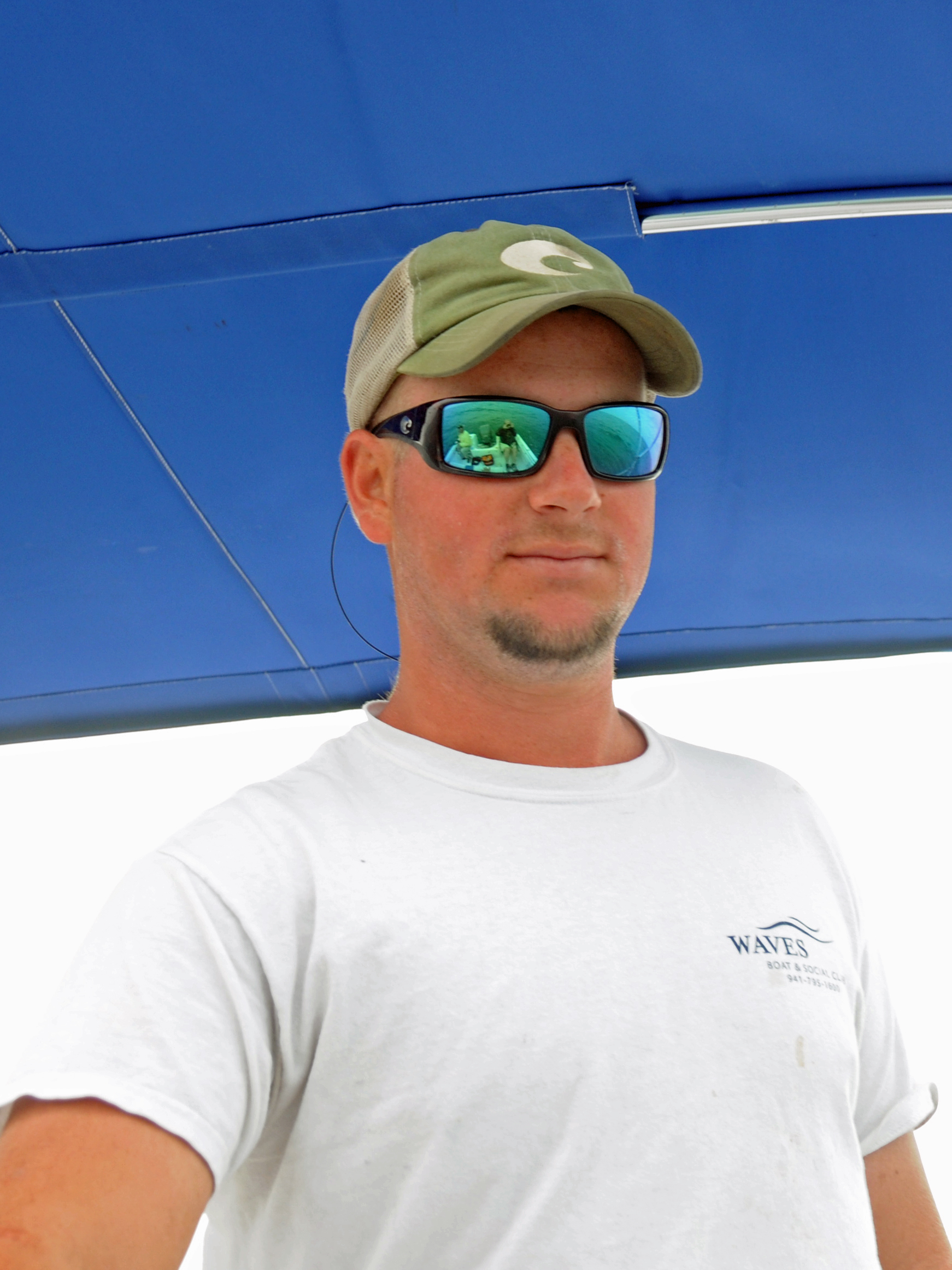
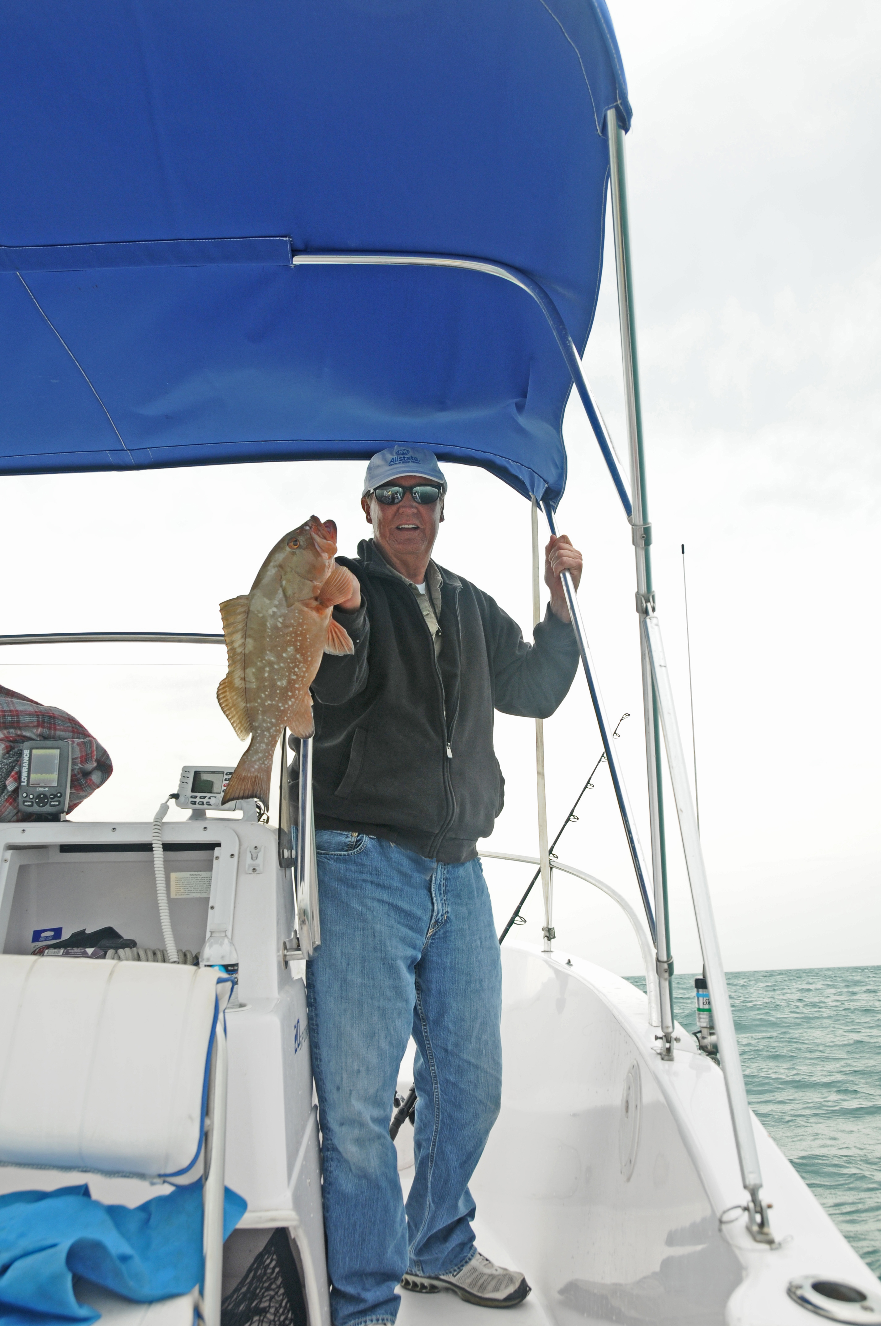
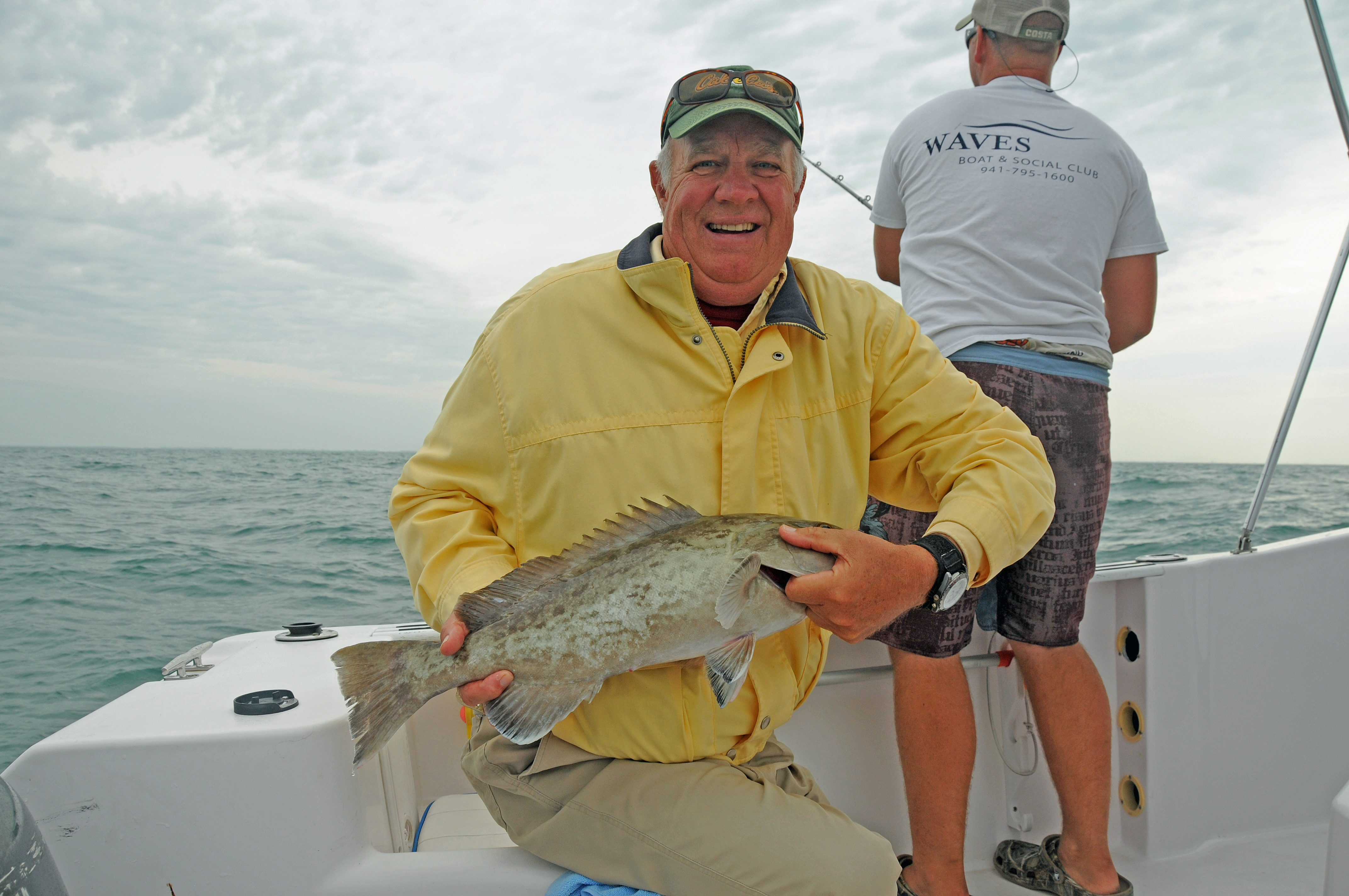
On this past cold and windy (15-20 knots) Monday, March 18th, the Waves fishing clinic set off on a regularly scheduled offshore fishing clinic. There were 4 members and our own dock staff Trevor, who was running this great and popular boating social event. They left Waves Boat Club bright and early on this cool and unpredictable day from our Bradenton, Florida location. They were on a Waves club boat; a 21' Proline center console with a 200 4X Yamaha. They headed 6.5 miles offshore from Longboat Pass into the Gulf of Mexico hoping to find some fish!

On their way to their fishing destination, they saw a plethora of Florida sea life such as sea turtles and birds. Once they arrived at their charted location there was no bad visibility however, it was rough all right! Fortunately, everyone was in good spirits and ready to find some fish.

With the use of a Lowrance GPS and the expert fishing skills of Trevor they were able to find the right spot. They caught Gray Snapper, Grouper, Porgies and Remora.

They also, unfortunately, caught a Seagull!!!!! While helping the Seagull get free he got (understandably so) very scared and/or angry and bit one of the passengers on his finger! He didn’t even squawk (neither the seagull nor the member, ha ha). Luckily no person or gull was hurt. It started to rain a bit and they headed back…happy, with a little more fishing knowledge and a new respect for Seagulls.
|


