All entries tagged with “boating”
Posted by on Thursday Nov 1, 2018 10:44 am
Red Tide Mid-week Update for October 31, 2018
Current Conditions
Bloom concentrations of the red tide organism, Karenia brevis, persist on Florida’s Southwest, Northwest, and East coasts. Patchiness was observed in each area. Additional details are provided below.
- In Southwest Florida over the past week, K. brevis was observed in samples spanning Pinellas to Monroe counties. Relative to last week, K. brevis concentrations generally increased from southern Pinellas to Collier counties. Observations of >1,000,000 K. brevis cells per liter (“high” concentrations) occurred in and/or offshore of Pinellas, Hillsborough, Manatee, and Sarasota counties. “Medium” K. brevis concentrations were detected in these same areas, and in and/or offshore of Charlotte and northern Lee counties
- In Northwest Florida over the past week, K. brevis was observed in and/or offshore of Escambia, Santa Rosa, and Bay Counties, with “medium” concentrations observed in and/or offshore of these counties, and “high” concentrations occurring only in Bay County samples.
- Along the Florida East Coast over the past week, K. brevis was observed from Brevard to Miami-Dade counties. “High” concentrations occurred only in Brevard, Indian River, and St. Lucie counties, and “medium” concentrations occurred in these same general areas but extended further south to Martin County. Relative to last week, K. brevis concentrations increased in parts of Brevard, Indian River, and Martin counties and decreased in Palm Beach County.
Fish Kills
In Southwest Florida, reports of fish kills were received for Pinellas, Manatee, and Sarasota counties. In Northwest Florida, reports of fish kills were received for Okaloosa, Walton, Bay, and Franklin counties. Along the East Coast of Florida, reports of fish kills were received for Brevard, Indian River, St. Lucie, and Palm Beach counties.
Respiratory Irritation
Respiratory irritation was reported over the past week in Southwest Florida (in Pinellas, Manatee, Sarasota and Lee counties).
Forecast
Forecasts by the USF-FWC Collaboration for Prediction of Red Tides for Pinellas to Monroe counties predict net northern transport of surface waters and net southern movement of subsurface waters in most areas over the next three days. Three-day forecasts for Escambia to western Gulf counties predict net eastern surface transport and net northeastern subsurface movement in most areas. for Pinellas to Monroe counties predict net northern transport of surface waters and net southern movement of subsurface waters in most areas over the next three days. Three-day forecasts for Escambia to western Gulf counties predict net eastern surface transport and net northeastern subsurface movement in most areas.
Red Tide Status Map (October 31, 2018)

View a larger map  (October 31, 2018) (October 31, 2018)
To see detailed information on this week's samples, view the current Statewide Google Earth map for October 31, 2018 . .
By using Google Earth, you can zoom in to specific locations and click on stations to see detailed information, including sample date and cell concentration. You must have Google Earth installed on your computer to view this map; the software can be downloaded from the Google Earth website . .
The next complete red tide status report will be posted on Friday, November 2nd. Please check our daily sampling map which can be accessed from the top of this page.
Archived status maps can be found in our Flickr gallery . Previous regional status reports and maps can be found on our red tide resources page. . Previous regional status reports and maps can be found on our red tide resources page.
Latest Red Tide Status Report Available by Phone
Call 866-300-9399 at any time from anywhere in Florida to hear a recording about red tide conditions throughout the state. Callers outside of Florida can dial 727-552-2448. Standard calling charges apply.
Reports are updated on Friday afternoon except during holidays, in which case the report will be released on the closest day. Additional information, if available, is provided on Wednesday afternoon. To receive an e-mail when the current status has been updated, visit our subscription area.
Additional Information
For additional information about red tide and the current red tide bloom, including information on how to report a fish kill or other wildlife effects, consult health authorities about human exposure, or locate other resources, visit our Red Tide-Related Hotlines and Information Sources article.
Blue-Green Algae Bloom Information
Additional information regarding the current status of algal blooms in South Florida is being consolidated and posted on the Florida Department of Environmental Protection’s website: https://floridadep.gov/dear/algal-bloom . .
| Description | Karenia breviscells/liter | Possible Effects (K. brevis only) |
|---|
| NOT PRESENT - BACKGROUND |
background levels of 1,000 cells or less |
None anticipated |
| VERY LOW |
>1,000 to 10,000 |
Possible respiratory irritation; shellfish harvesting closures > 5,000 cells/L |
| LOW |
>10,000 to 100,000 |
Respiratory irritation, possible fish kills and bloom chlorophyll probably detected by satellites at upper limits |
| MEDIUM |
>100,000 to 1,000,000 |
Respiratory irritation and probable fish kills |
| HIGH |
>1,000,000 |
As above plus discoloration
|

Posted by on Friday Oct 19, 2018 11:53 am
Red Tide Mid-Week Update for October 17, 2018
Current Conditions
Bloom concentrations of the Florida red tide organism, Karenia brevis, persist on Florida’s Southwest, Northwest, and East coasts. Patchiness was observed in each region. Additional details are provided below.
- Over the past week in Southwest Florida, patchy concentrations of K. brevis were observed from Pinellas to Monroe counties. Relative to last week, cell concentrations were similar in most areas but increased in parts of Monroe County, and decreased in parts of Manatee County. Observations of >1,000,000 K. brevis cells per liter (“high” concentrations) occurred at one site each in Pinellas and Sarasota counties; medium concentrations of K. brevis also occurred only in these counties.
- In Northwest Florida over the past week, K. brevis was observed in or offshore of Escambia, Santa Rosa, and Okaloosa Counties, with “medium” concentrations occurring in Okaloosa and Santa Rosa counties.
- On the East Coast over the past week, observations of K. brevis spanned Brevard to Miami-Dade counties. “High” concentrations were observed at one site in Indian River County, and “medium” concentrations occurred in Indian River and Broward counties. Relative to last week, cell concentrations increased in Indian River County and decreased in parts of St. Lucie, Martin, Palm Beach, and Miami-Dade counties.
Fish Kills
In Southwest Florida, reports of fish kills were received for Pinellas and Sarasota counties. In Northwest Florida, reports of fish kills were received for Okaloosa and Pasco counties. Along the East Coast of Florida, reports of fish kills were received for Brevard, Indian River, Palm Beach and Broward counties.
Respiratory Irritation
Respiratory irritation was reported over the past week in Southwest Florida (in Pinellas, Manatee, Sarasota, Lee, and Collier counties), Northwest Florida (in Escambia and Okaloosa counties), and the East Coast (in Brevard and Indian River counties).
Forecast
Forecasts by the USF-FWC Collaboration for Prediction of Red Tides for Pinellas to southern Monroe counties predict net northwestern transport of surface waters and southeastern movement of subsurface waters over the next three days. Three-day forecasts for Northwest Florida predict net western transport of surface waters and northeastern movement of subsurface waters from Escambia to western Gulf counties. for Pinellas to southern Monroe counties predict net northwestern transport of surface waters and southeastern movement of subsurface waters over the next three days. Three-day forecasts for Northwest Florida predict net western transport of surface waters and northeastern movement of subsurface waters from Escambia to western Gulf counties.
Red Tide Status Map (October 17, 2018)

View a larger map  (October 17, 2018) (October 17, 2018)
To see detailed information on this week's samples, view the current Statewide Google Earth map for October 17, 2018 . .
By using Google Earth, you can zoom in to specific locations and click on stations to see detailed information, including sample date and cell concentration. You must have Google Earth installed on your computer to view this map; the software can be downloaded from the Google Earth website . .
Archived status maps can be found in our Flickr gallery . Previous regional status reports and maps can be found on our red tide resources page. . Previous regional status reports and maps can be found on our red tide resources page.
Latest Red Tide Status Report Available by Phone
Call 866-300-9399 at any time from anywhere in Florida to hear a recording about red tide conditions throughout the state. Callers outside of Florida can dial 727-552-2448. Standard calling charges apply.
Reports are updated on Friday afternoon except during holidays, in which case the report will be released on the closest day. Additional information, if available, is provided on Wednesday afternoon. To receive an e-mail when the current status has been updated, visit our subscription area.
Additional Information
For additional information about red tide and the current red tide bloom, including information on how to report a fish kill or other wildlife effects, consult health authorities about human exposure, or locate other resources, visit our Red Tide-Related Hotlines and Information Sources article.
Blue-Green Algae Bloom Information
Additional information regarding the current status of algal blooms in South Florida is being consolidated and posted on the Florida Department of Environmental Protection’s website: https://floridadep.gov/dear/algal-bloom . .
| Description | Karenia breviscells/liter | Possible Effects (K. brevis only) |
|---|
| NOT PRESENT - BACKGROUND |
background levels of 1,000 cells or less |
None anticipated |
| VERY LOW |
>1,000 to 10,000 |
Possible respiratory irritation; shellfish harvesting closures > 5,000 cells/L |
| LOW |
>10,000 to 100,000 |
Respiratory irritation, possible fish kills and bloom chlorophyll probably detected by satellites at upper limits |
| MEDIUM |
>100,000 to 1,000,000 |
Respiratory irritation and probable fish kills |
| HIGH |
>1,000,000 |
As above plus discoloration
|
Posted by on Sunday Aug 26, 2018 11:56 am
Red Tide Status Update for August 24, 2018

Current Conditions
A bloom of the Florida red tide organism, Karenia brevis, persists in Southwest Florida and currently extends from Pinellas to Collier counties along ~145 miles of coastline. Observations of >1,000,000 K. brevis cells per liter (“high” concentrations) continue to occur at coastal and inshore sites from Manatee to northern Collier counties, and minimal change in cell concentrations was observed for most areas relative to last week. Coastal currents important for transporting cells of K. brevis continue to alternate between predominantly northern or southern flow. Aerial surveys from Pinellas to northern Charlotte counties indicated the presence of offshore blooms of the marine cyanobacterium, Trichodesmium. More specific details are provided below.
- In Southwest Florida over the past week, K. brevis was observed at background to medium concentrations in Pinellas County, very low to high concentrations in Manatee County, background to high concentrations in Sarasota County, low to high concentrations in or offshore of Charlotte County, very low to high concentrations in or offshore of Lee County, and background to high concentrations in Collier County. For additional information, view the Southwest Coast report
 and map and map  . .
- In Northwest Florida over the past week, K. brevis was observed at background concentrations in one sample collected from Escambia County. For additional information, view the Northwest Coast report
 and map and map  . .
- Additional samples collected along the east coast of Florida over the past week did not contain K. brevis. For additional information, view the East Coast report
 and map and map  . .
Fish Kills
Over the past week, reports were received for multiple locations in Pinellas, Manatee, Sarasota, Charlotte, Lee, and Collier counties. More detailed information is available at http://myfwc.com/fishkill.
Respiratory Irritation
Respiratory irritation was reported over the past week in Pinellas, Manatee, Sarasota, Lee, and Collier counties. For additional information, view the Southwest Coast report  . .
Forecast
Forecasts by the USF-FWC Collaboration for Prediction of Red Tides for Pinellas to northern Monroe counties predict variable movement of surface waters, with net southern transport in most offshore areas and net northern transport close to shore, and net southeastern transport of subsurface waters over the next three days. for Pinellas to northern Monroe counties predict variable movement of surface waters, with net southern transport in most offshore areas and net northern transport close to shore, and net southeastern transport of subsurface waters over the next three days.
Red Tide Status Map (August 24, 2018)

View a larger map  (August 24, 2018) (August 24, 2018)
To see detailed information on this week's samples, view the current Statewide Google Earth map for August 24, 2018 . .
By using Google Earth, you can zoom in to specific locations and click on stations to see detailed information, including sample date and cell concentration. You must have Google Earth installed on your computer to view this map; the software can be downloaded from the Google Earth website . .
Latest Red Tide Status Report Available by Phone
Call 866-300-9399 at any time from anywhere in Florida to hear a recording about red tide conditions throughout the state. Callers outside of Florida can dial 727-552-2448. Standard calling charges apply.
Reports are updated on Friday afternoon except during holidays, in which case the report will be released on the closest day. Additional information, if available, is provided on Wednesday afternoon. To receive an e-mail when the current status has been updated, visit our subscription area.
Additional Information
For additional information about red tide and the current red tide bloom, including information on how to report a fish kill or other wildlife effects, consult health authorities about human exposure, or locate other resources, visit our Red Tide-Related Hotlines and Information Sources article.
Blue-Green Algae Bloom Information
Additional information regarding the current status of algal blooms in South Florida is being consolidated and posted on the Florida Department of Environmental Protection’s website: https://floridadep.gov/dear/algal-bloom.
| Description | Karenia breviscells/liter | Possible Effects (K. brevis only) |
|---|
| NOT PRESENT - BACKGROUND |
background levels of 1,000 cells or less |
None anticipated |
| VERY LOW |
>1,000 to 10,000 |
Possible respiratory irritation; shellfish harvesting closures > 5,000 cells/L |
| LOW |
>10,000 to 100,000 |
Respiratory irritation, possible fish kills and bloom chlorophyll probably detected by satellites at upper limits |
| MEDIUM |
>100,000 to 1,000,000 |
Respiratory irritation and probable fish kills |
| HIGH |
>1,000,000 |
As above plus discoloration
|
Posted by on Monday Nov 28, 2016 12:56 pm
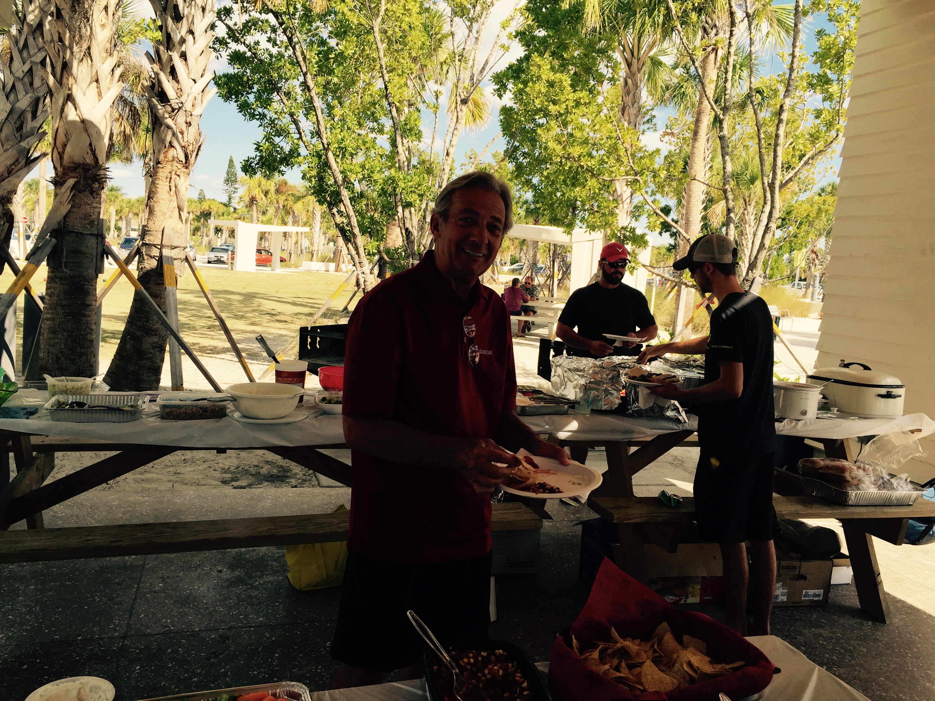
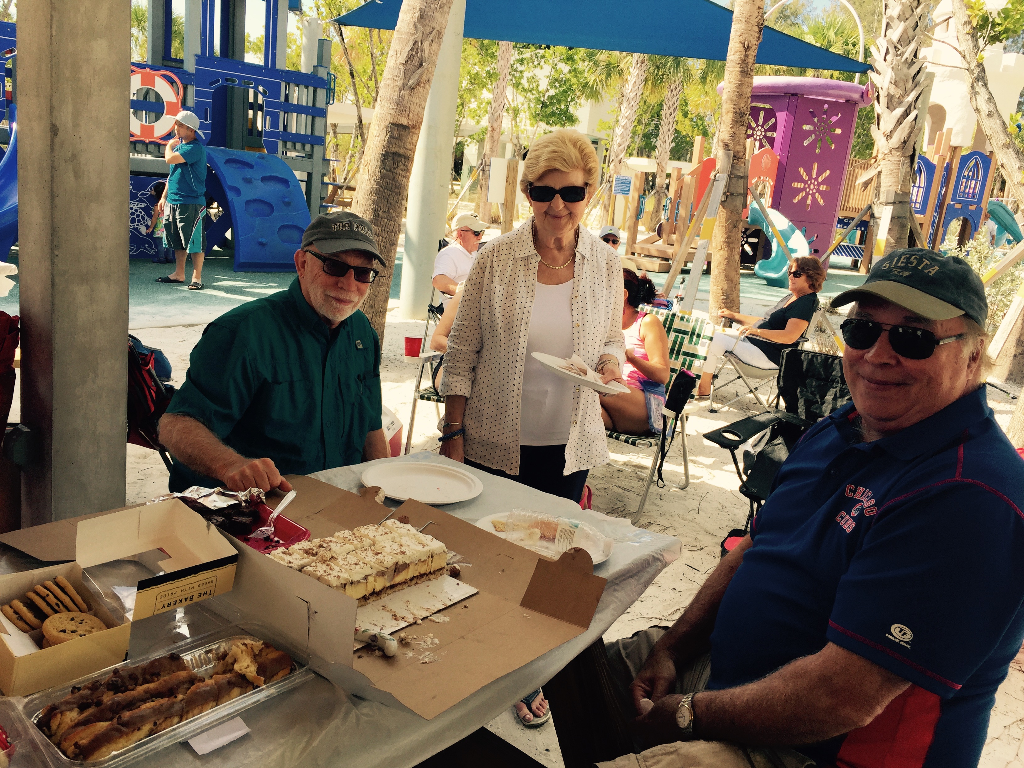
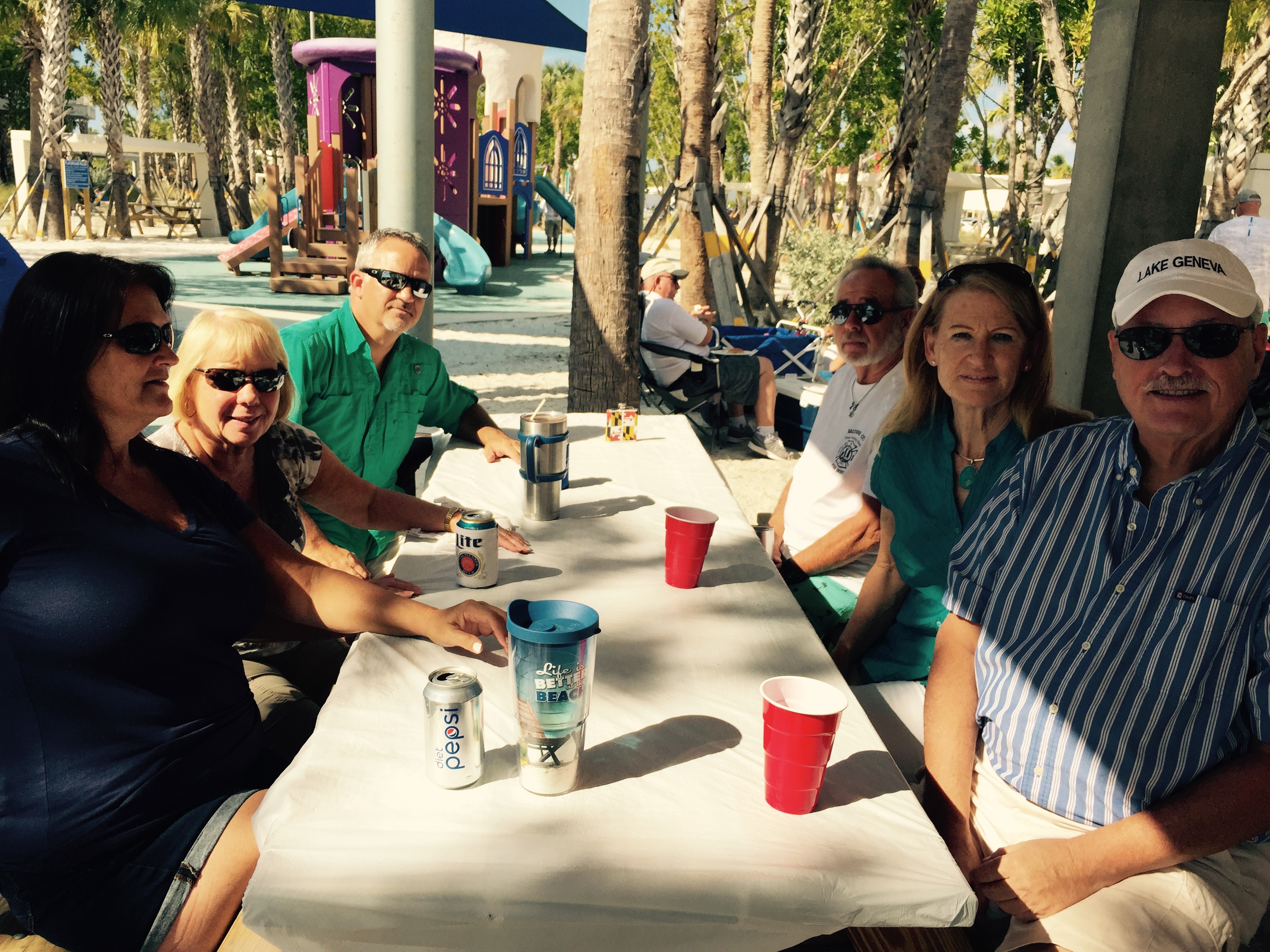
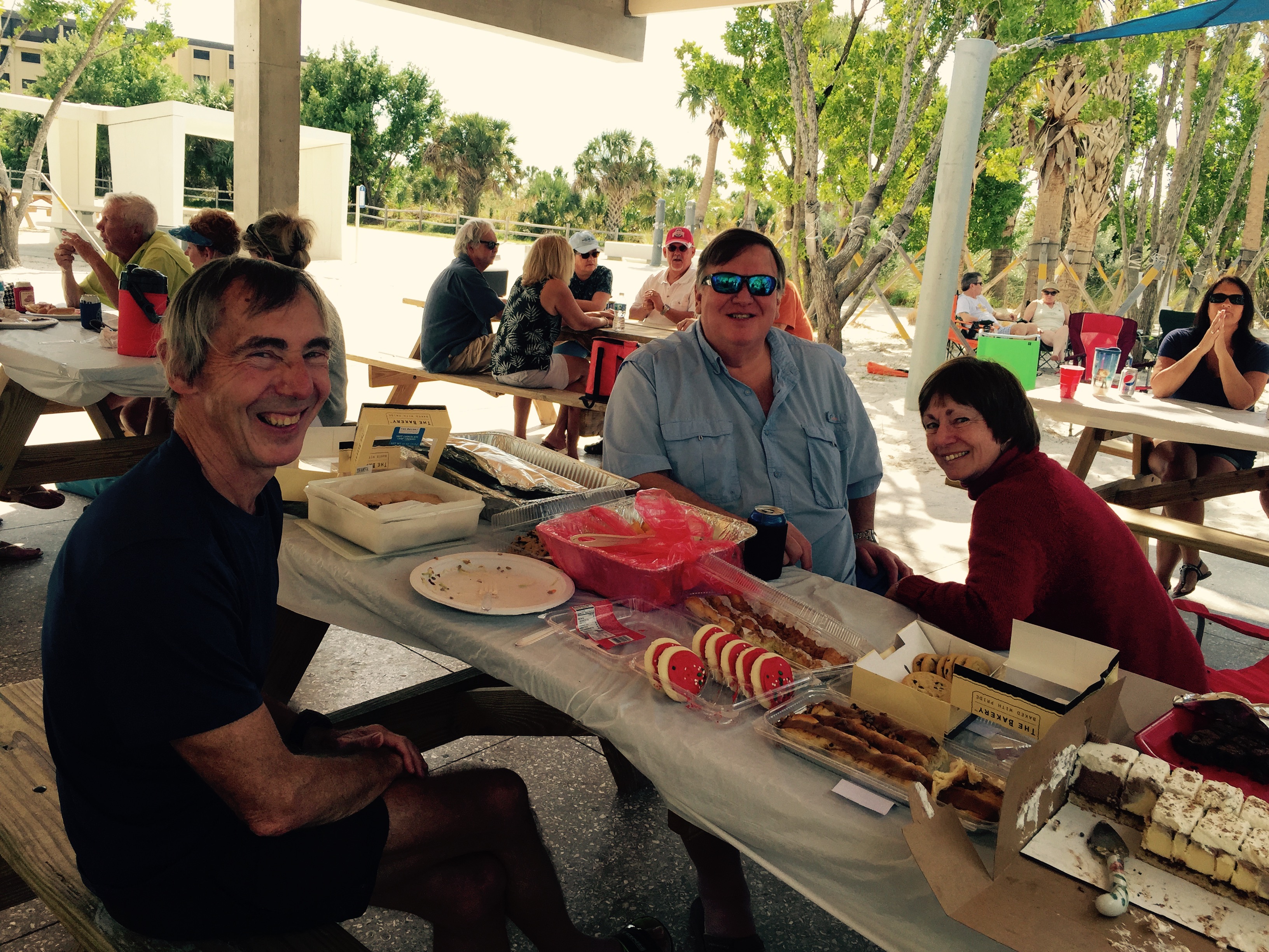
Hey boaters! Here at Waves our first priority in every feild is you. We appriciate your dedication and input for the club. We like to take a day out of every year to show you just how much you mean to us with Free Food, games, prizes and fun! If you attended or not we thank you for being a member here with us. Hope to see you next year!
Please enjoy these pictures turned in from our president and founder: Carissa Ellis Dressel
Thank you!
     .jpg) .jpg) .jpg) .jpg) .jpg)
Posted by on Thursday Jun 6, 2013 4:44 pm
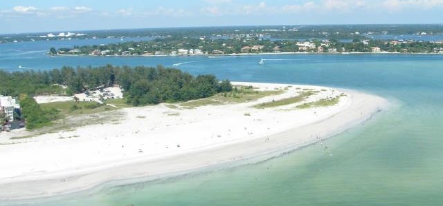
Top 3 Sarasota Boating Destinations
When it comes to enjoying a vacation, nothing says relaxation better than a day on the boat with friends and family, enjoying the cool breeze and the blue waters. Boating destinations are abundant throughout Sarasota at deciding when and where to toss your anchor can be a bit confusing. In order to make your choice a little easier to make, here's our top 3 Sarasota boating destinations that guarantee a great time!
Long Boat Key's “Beer Can Island” (Greer Island)
While the name may imply a place to party, “Beer Can Island” is actually a waterfront beach and boating park overlooking Sarasota Pass and the Gulf of Mexico. Created by tidal currents, Beer Can Island is located at the northern most point of the 11-mile long, Longboat Key. Free boat parking and ample fishing opportunities make Beer Can Island a favorite for locals. Only accessible by boat, this quiet stretch of island is the perfect location for a relaxing weekend, parties or just soaking up the sun.
Lido Key's City Island
Located just before the bridge to Longboat Key, at the northern most end of Lido Key Beach, is City Island, another favorite spot for Sarasota boaters. Drop the anchor and enjoy a day at City Island Park where you can indulge in recreational activities for all ages, including a full playground. Located directly across from the park is Mote Marine Aquarium, where you can further explore Sarasota's marine life up close and personal. For the fisherman in you, enjoy the fishing docks extending from the picnic areas located at City Island.
Siesta Key Beach
While not necessarily a boating destination, Siesta Key Beach just simply can't be ignored when looking for the ultimate Sarasota experience. Rated the nation's #1 beach, Siesta Key is home to tourists and locals year round. Venture to Siesta Key on a Sunday night and enjoy the rhythmical sounds of the “Drum Circle” and even join in on the fun. Take a look around Siesta Key Village and explore the many shops and exquisite dining locations for a day that you won't soon forget.
Whatever your idea of a vacation is, you can count on any of the Sarasota boating destinations above to provide entertainment and fun for the whole family. Here's to a relaxing weekend and as always, we'll see you on the water!
Have other boating destinations to share? Let us know by leaving a comment below.
Posted by on Wednesday Apr 24, 2013 2:31 pm
Boating in Florida with Wave's Boat and Social Club
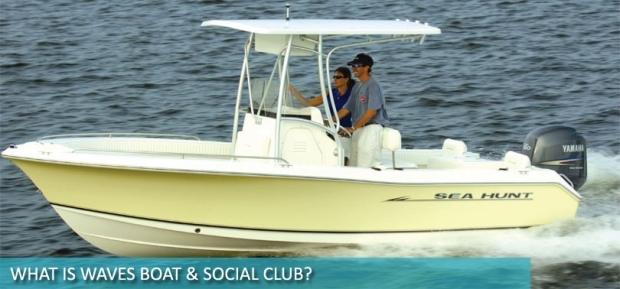 Florida is a beautiful state, rich in scenery, historical value and home to the nation's #1 beach, Siesta Key. Most notable for it's sandy beaches, crystal clear waters and plenty of coastline to explore, Florida (especially Sarasota) could be called a "boater's paradise." Florida is a beautiful state, rich in scenery, historical value and home to the nation's #1 beach, Siesta Key. Most notable for it's sandy beaches, crystal clear waters and plenty of coastline to explore, Florida (especially Sarasota) could be called a "boater's paradise."
For most boating enthusiasts, enjoying the water requires a boat, basic navigation and marine skills and a zest for a little adventure! However, what if you don't own a boat? How can you still enjoy all that Sarasota has to offer without breaking the bank?
Well, the answer is actually quite simple: Join a Sarasota boat club!
What Is A Boating Club?
A boating club is simply an organization that boat lovers can join where, for a annual fee, they are granted access to use and enjoy different boats, community events and social gatherings in a community centered environment. Essentially, a boating club is exactly like owning your own boat, but without all of the headaches!
What Are the Benefits of Joining a Boat Club?
By becoming a part of Wave's Boat and Social Club, not only can you enjoy a sense of community and friendship, but there are many other benefits including:
- Full training including:
- Operation and procedures
- Driving and parking
- Reading markers
- Understanding navigational charts
- Emergency situation preparedness
- Save money with membership specials and deals.
- Never worry about boat maintenance or repairs.
- No insurance premiums.
- No dock fees.
- Membership is a fraction of the cost of buying a comparable boat.
How To Choose the Right Boat Club
Making the decision to join a boat club can be exciting, but also overwhelming. With so many different options for different boat clubs, deciding on the best one for you can be quite daunting. However, it doesn't have to be.
When choosing the right boat club in Sarasota, Florida ask yourself these questions:
- What are the annual fees and how do they compare to other boating club fees?
- How many locations does the boat club serve?
- Is there a sense of community in the club?
- How do the staff and other members treat you?
- Do you have to pay any hidden fees? (ie. no-show fees, advanced booking fees, etc.)
- How far in advance can you reserve a boat? Is it guaranteed?
- How many members per boat does the club have?
- What is the maintenance schedule like?
- How often will you be using your membership?
- What are the policies and requirements you must follow to become a member?
- How often can you use the boats?
- Are the boats maintained and serviced regularly?
Ask your potential boating staff these questions and listen to their answers. It's very important to consider the benefits vs. the features of the boat club you join, making sure that you are getting the biggest bang for your buck.
Becoming a member of any boating club is a wonderful experience, but make sure you take the time to make the right choice. Check out Wave's Boat and Social Club to learn more about our membership benefits and the abundant opportunities to become part of an excellent community!
Posted by Carissa Dressel on Wednesday Mar 20, 2013 11:32 am
On this past cold and windy (15-20 knots) Monday, March 18th, the Waves fishing clinic set off on a regularly scheduled offshore fishing clinic. There were 4 members and our own dock staff Trevor,... More »
|


.jpg)
.jpg)
.jpg)
.jpg)
.jpg)

 Florida is a beautiful state, rich in scenery, historical value and home to the nation's #1 beach, Siesta Key. Most notable for it's sandy beaches, crystal clear waters and plenty of coastline to explore, Florida (especially Sarasota) could be called a "boater's paradise."